Hiking in the Rhine-Nahe region
Hiking trails between castles, chateaus and vineyards
Hiking enthusiasts get their money's worth on the Rhine. On the left side of the Rhine, the Rhine Castle Trail winds its way across the Rhine heights from valley to valley. After every bend, another castle awaits the hiker, a true Eldorado for romantics.
On the right bank of the Rhine, the 313 km long Rheinsteig trail runs for more than 60 km through the Upper Middle Rhine Valley World Heritage Site. Wonderful views and spectacular vistas reward hikers for their efforts on this rather demanding hiking trail. Boat connections to Trechtingshausen, Niederheimbach and Bacharach allow hikers to use beautiful accommodations in the Rhine-Nahe vacation region.
And if all this is not enough, you have the opportunity to explore the side valleys of the Rhine on one of the many round tours.
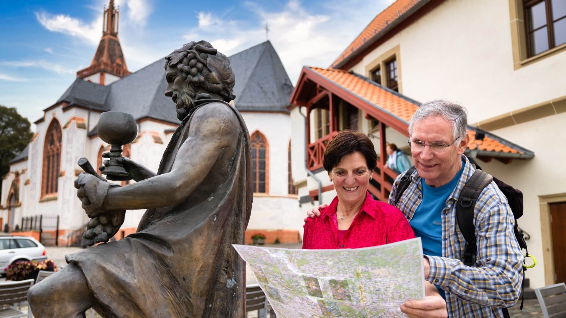
Due to the good connection to the public transport, the starting points are easily accessible and the tours can be combined individually.
The round tours in the area of the Rhine-Nahe municipality have different degrees of difficulty. From leisurely hikes to alpine climbs, there is something for everyone.

Steel mountain loop
Difficulty: medium
Route: 12,7 km
Duration: 4,00 h
Ascent: 550 m
Descent: 550 m
Start/finish point: Malerwinkel, Bacharach
Alternatively, it is also possible to start from Weiherturmplatz, Bacharach-Steeg.

Tree Spirit Tour
Difficulty: medium
Route: 15,7 km
Duration: 5,00 h
Ascent: 660 m
Descent: 660 m
Start/finish point: Forsthaus Jägerhaus, Bingen Forest

Bell passage
Difficulty: medium
Route: 10,5 km
Duration: 3,30 h
Ascent: 442 m
Descent: 442 m
Start/finish point: Fürstenberghalle, Oberdiebach

Rhine-Nahe loop
Difficulty: medium
Route: 20,2 km
Duration: 6,00 h
Ascent: 500 m
Descent: 500 m
Start/finish point: village square, Weiler

St. Oswald loop
Difficulty: medium
Route: 10,4 km
Duration: 3,5 h
Ascent: 320 m
Descent: 320 m
Start/finish point: Hikers' car park
Rheingoldstr. 1, Manubach

Kreuzbachklamm
Difficulty: medium
Route: 11,9 km
Duration: 3,30 h
Ascent: 560 m
Descent: 612 m
Start/finish point: parking lot at the B9

Voices about the trails
The Stahlbergschleife on the Rheinburgenweg is a beautiful, varied loop that meets the premium quality of the long-distance hiking trail on the right bank of the Rhine in all respects.
- Konrad Friedgen
Schellengang: Great route if you just want to make an afternoon round. We were three and a half hours on the road and have made several small sitting breaks to enjoy the view.
- Lena Bayer
The Rhine-Nahe loop is wonderful-wonderful. Not a bit difficult. It took us about 4 hours. The signposting is very good. We liked the fact that the tour is very varied. Sometimes you are in the "open field", sometimes in the forest, sometimes in the vineyard, sometimes on the mountain, sometimes in the valley. Again and again the perspective changes - a great feast for the eyes!
- Ursula Dieckmann
Kreuzbachklamm: Beautiful tour on partly rustic paths; great views of the Rhine!
- J&P